Road conditions for Malawi
Turn every journey into a map of which roads are safe.
Tayenda records how rough the road feels as you drive, with your phone and nothing else. Mappers, drivers and riders build a live picture of potholes, rough sections and flood-prone routes, so communities and planners can see where to fix and which way to go.
Checking the latest version…
How it works
- 1
Mount your phone
Fix the phone firmly on the dashboard or handlebar, screen up, and choose how it is mounted and what you are driving.
- 2
Press Start and drive
The app records GPS and motion in the background, even with the screen off. See a pothole, flood or obstruction? Tap Mark hazard.
- 3
Stop and it uploads
Trips are saved on the phone and sent when there is a network. Nothing is lost if you have no signal for days.
- 4
Roads get a score
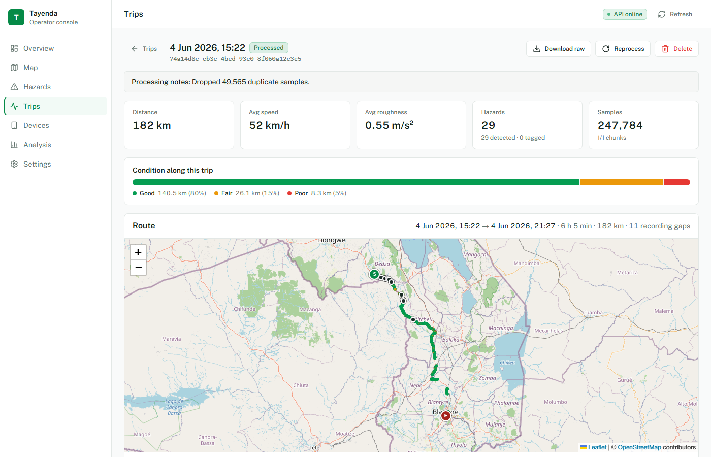
The server cuts each trip into 50 m stretches, scores how rough each one felt, and flags big jolts. Operators see it all on a map.
Install the app
Tayenda is installed straight from this page, so it works on any Android phone without an app store.
- 1Open this page on your Android phone and tap Download Tayenda.
- 2When the file finishes, open it. If Android asks, allow installs from your browser (Settings, Install unknown apps).
- 3Tap Install, then open Tayenda and allow Location. Allow Notifications and the battery prompt so recording keeps running.
- 4On Tecno, Infinix and Xiaomi phones, also set Tayenda to "No restrictions" or turn on Autostart in the phone’s battery settings.
Already have Tayenda? Installing the new version keeps your saved trips and updates the app in place.
Scan with the phone you want to install on
Private by design
Tayenda collects no names, phone numbers or accounts. Your phone is identified only by an anonymous code, and public maps show road conditions, never individual journeys.
Built for low connectivity
Recording needs no internet. Trips upload when a connection appears and retry on their own if it drops.
For operators and planners
A web dashboard shows road condition on a map, ranks hazards by how many trips confirm them, and exports data for reports. Operator sign in